Heddon-on-the-Wall
Heddon-on-the-Wall,
Northumberland
|

Featured Location Guide |
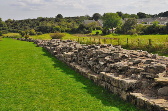

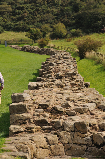
Looking east, with the northern face of the
wall towards us
A consolidated stretch
of Wall, up to 2 metres (6.5 feet) thick in places.
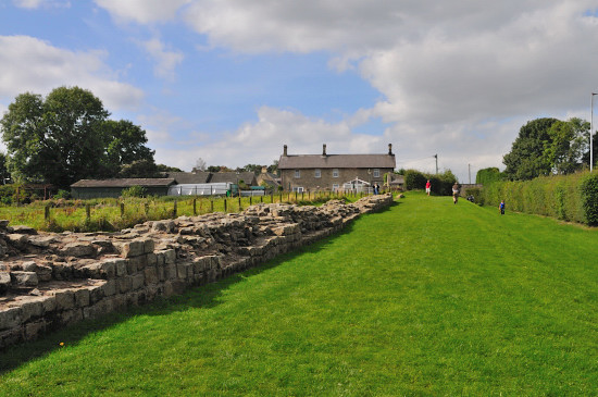

Looking west, again with the
Northern face of the wall towards us
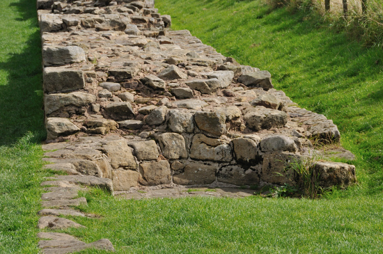

A round feature that are said to have been the
result of much later use, although to me this makes little sense and looked more
like a part of the original wall structure. Perhaps it was the base of circular
staircase to gain access to the top of the wall. The wall at this point and for
a short distance is very thin, so perhaps there is another explanation.
There would have been a milecastle (12) not far from this end of the wall section, but I am not aware of any
remains of it.
|
 |
 |
|
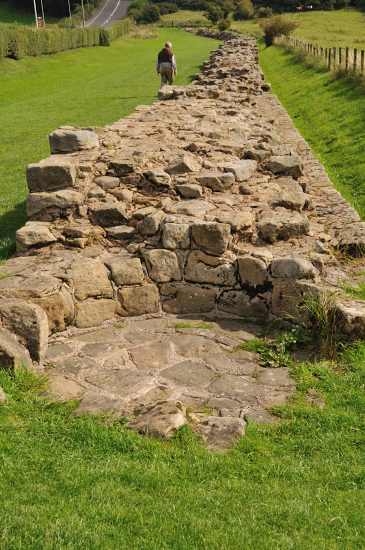
 another
view of the circular feature another
view of the circular feature |
 Looking east down the top of the wall
 |
|
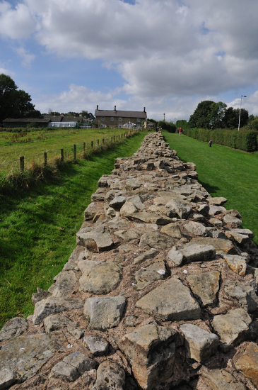
 looking
up the top of the wall looking west looking
up the top of the wall looking west |
 |
 |
|
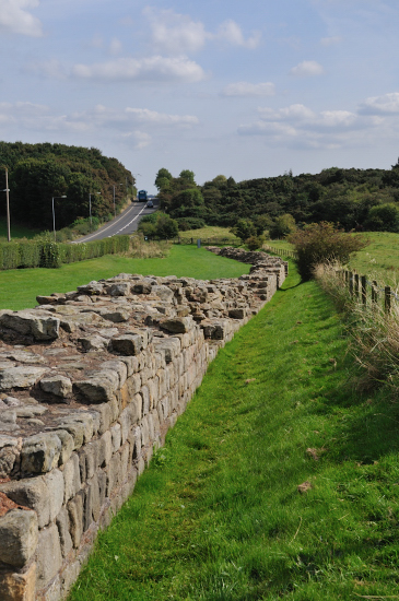
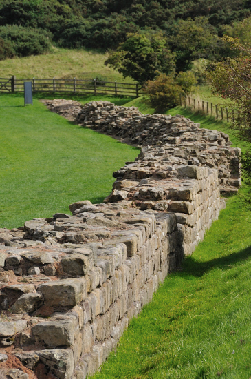
 south side of the wall looking west
 |
 south side of the wall looking west
 |
Please let us know any other information that we
can add to the Grid(s) or page and any errors that you discover. Before making a long trip to any location it is always
wise to double check the current information, websites like magazines may be
correct at the time the information is written, but things change and it is of
course impossible to double check all entries on a regular basis. If you have
any good photographs that you feel would improve the illustration of this page
then please let us have copies. In referring to this page it is helpful if you
quote both the Page Ref and Topic or Section references from the Grid below. To print the
planning grid select it then right click and print the selected area.
Please submit information on locations you discover so
that this system continues to grow.
|