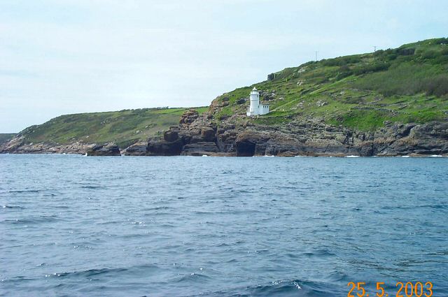
Tater Du Lighthouse
Mousehole,
Cornwall
|

Location Guide |
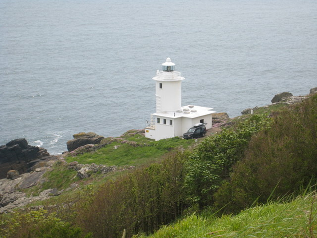
 Photo by
Rod Allday Photo by
Rod Allday

Tater Du Lighthouse is a small
modern lighthouse built in 1965, built by Trinity House as an automatic
installation. The lighthouse was built after the ship 'Juan Ferrar'
wrecked nearby in 1963 with the loss of 11 lives.
It marks a headland on the south Cornwall coast to the west of
Penzance.
A red sector light warns shipping of the Runnelstone Rocks.
The lighthouse, which is built of white concrete blocks, was modernised in
1996/7.
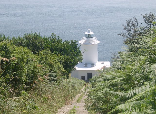
Photo by
Tony Akin
Photograph from
Geograph
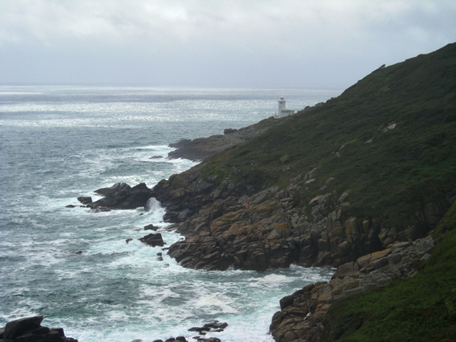
Photo from
Geograph
Taken from near where the tragic
sinking of the
Solomon Browne lifeboat happened in December 1981.
Photo by
Richard Knights
Lighthouse information Grid
|
Name: |
Tater Du Lighthouse,
nr Mousehole, Cornwall |
|
Current status: |
Currently in use |
|
Geographic Position: |
50° 03’.12 N 05° 34’.60 W |
|
Grid Reference: |
SW440230 |
|
Ceremonial County: |
Cornwall
 |
|
Appearance: |
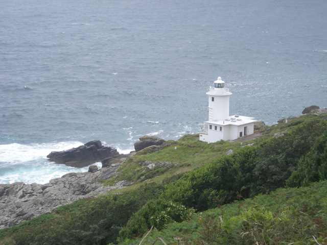
White tower mid way up hillside, no accommodation but small building next to
it |
|
Map
Link: |
Get-a-map
Multimap |
|
Aerial photo: |
Google
satellite view
|
|
Other photos: |
Geograph
Photo
photo |
|
Originally built: |
1965 |
|
Current lighthouse built: |
1965 |
|
Height of Tower: |
15m 50ft |
|
Height of light above mean sea level: |
Main Light: 34 Metres
112ft
Sector Light: 31 Metres |
|
Character of light: |
Main Light: Three White Flashes
Every 15 Seconds
Sector Light: Fixed Red, 4 White Flashes Every 15 Seconds |
|
Character of fog signal: |
2 Blasts Every 30 Seconds |
|
Range of light: |
Main Light:
23 nautical miles
Sector Light: 13 nautical miles |
|
Owned / run by: |
Trinity House
 |
|
Getting there: |
See
map - On a headland about 6km (4 mi) southwest of Penzance. The road to the
lighthouse is not open to the public, but the lighthouse is accessible by
walking about 3km (2 mi) from Lamorna Cove on the
South West Coastal Path

 |
|
Access: |
TH |
|
Website: |
Wici
LD |
|
Other Useful Websites: |
|
| Routes: |
South West Coastal Path
|
|
Other Relevant pages: |
For more articles, lists and other information
see the
Lighthouses Section
Lighthouse Map of England and Wales


Featured List of
Lighthouses - England and Wales

List of Minor Lighthouses and Lights - England and Wales
|
|
Notes: |
If
you're down here during December to get more dramatic seas around the
lighthouse, in the evening you could visit the nearby
Mousehole Christmas Lights,
at Mousehole, where they decorate the harbour and town. |
|

|
Please let us know any other information that we
can add to the Grid or page and any errors that you discover. Before making a long trip to any location it is always
wise to double check the current information, websites like magazines may be
correct at the time the information is written, but things change and it is of
course impossible to double check all entries on a regular basis. If you have
any good photographs that you feel would improve the illustration of this page
then please let us have copies. In referring to this page it is helpful if you
quote both the Page Ref and Topic or Section references from the Grid below. To print the
planning grid select it then right click and print the selected area.
Please submit information on locations you discover so
that this system continues to grow.
|