Dungeness New Lighthouse
Dungeness, Kent
|

Location Guide |
| See Also
Dungeness
Old Lighthouse


We also have an existing Location guide for this
area
Dungeness, Kent


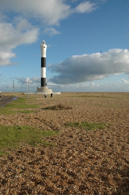
The current lighthouse at Dungeness is the fifth to have been built on this
part of the Kent coast. It was officially opened by HRH The Duke of Gloucester
in 1961.
Dungeness Lighthouse marks the end of the
peninsula and is also an important way mark and reference for vessels navigating
the Dover Straits.
|

 Photo by
Mark
Collins Photo by
Mark
Collins
 |
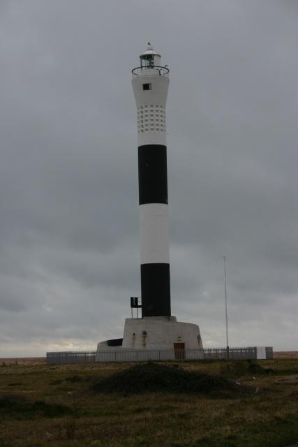
| The new lighthouse which
was officially opened by HRH The Duke of Gloucester, the former
Master of Trinity House, was brought into operation on 20th November,
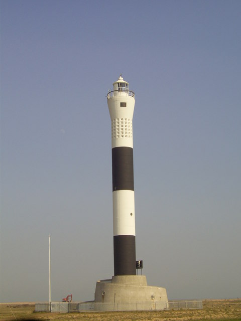
1961. The tower which rises from
a white concrete base in the form of a spiral ramp, is capable of
automatic operation and was the first one of its kind to incorporate the
Xenon electric arc lamp as a source of illumination.
It is constructed of pre-cast
concrete rings 1.5 metres high, 15cm thick and 3.6 metres in diameter,
fitted one above the other, and has black and white bands which are
impregnated into the concrete. Since May 1962 the whole tower has been floodlit to assist
identification from seaward. This floodlighting has reduced the bird
mortality rate at this lighthouse during the migration season. Dungeness Lighthouse was converted to automatic operation in 1991 and is
monitored and controlled from the Trinity House Depot at Harwich in
Essex. |

 Photo by
Alan
Simkins Photo by
Alan
Simkins
 |
The previous lighthouse
known as
Dungeness
Old Lighthouse
 is nearby. It was built in 1904 and the remains of the base and accommodation
from the one before that, built in 1792, is next to it.
 |

 Photo by
Nick
Macneill Photo by
Nick
Macneill
 |

A view of the new lighthouse from the top of the old one
 Photo from
Geograph Photo from
Geograph


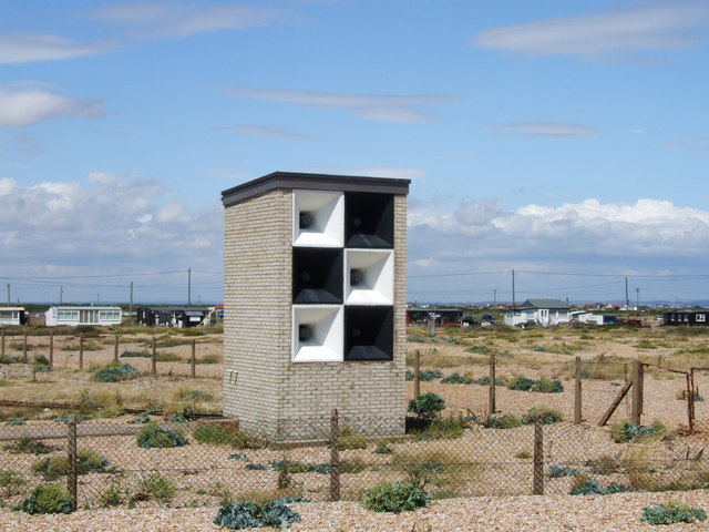
 Photo from Geograph Photo from Geograph
 of the fog horn of the fog horn
|
Lighthouse information Grid
|

|
Please let us know any other information that we
can add to the Grid or page and any errors that you discover. Before making a long trip to any location it is always
wise to double check the current information, websites like magazines may be
correct at the time the information is written, but things change and it is of
course impossible to double check all entries on a regular basis. If you have
any good photographs that you feel would improve the illustration of this page
then please let us have copies. In referring to this page it is helpful if you
quote both the Page Ref and Topic or Section references from the Grid below. To print the
planning grid select it then right click and print the selected area.
Please submit information on locations you discover so
that this system continues to grow.
|